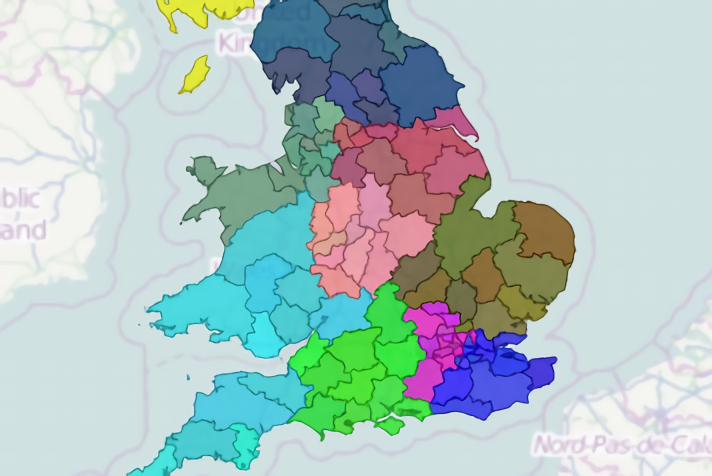
Updated UK postcode polygons
Posted 26 Jan 2015
We’ve just released an updated dataset for UK postcode boundary polygons (areas, districts and sectors) based on the latest Code Point Open data (January 2015). All postcode sectors, districts and areas present in Code Point Open are represented in the map. Postcode sectors representing a post sorting office are represented by a polygon at the sorting office’s location.