ODL Studio v1.4.1 - released 3rd November 2017
For Windows users, ensure you download the correct installer for your windows system - either 32 bit or 64 bit (if you have a modern computer it will probably be 64 bit Windows). If you’re unsure if your system is 32-bit or 64-bit, go to Control Panel, System and Security, System and by System type it should say 32-bit or 64-bit Operating system. The minimum recommended system is 6 GB RAM with a dual processor CPU.
Warning - there are 2 breaking changes with the data formats if you’re upgrading from ODL Studio v1.3.3 or older. Graphhopper road network graphs built with the graphhopper jar from earlier versions of ODL Studio do not work and need to be rebuilt with the new Graphhopper jar (in the graphhopper subdirectory of the ODL Studio installation directory). Postcode geocoding database file format has changed - the old files will no longer work (download the new ones).
- For Windows 64-bit systems, download 1.4.1 from here.
- For Windows 32-bit systems, download from here.
- For Linux and Mac systems, download this zip file, unzip it to a directory on your computer and then directly run the jar file com.opendoorlogistics.studio.jar. You will need Java Runtime 8 or higher installed on your computer.
Download the latest source code including all dependencies from Github. Open Door Logistics Studio is licensed under an LGPL licence.
White papers
3rd June 2017 - How to build a realtime vehicle route optimiser. We’ve published a white paper describing the development of ODL Live - our commercial real-time route optimiser system for on-demand services - last mile deliveries, taxis and mobile workforce scheduling. Download the paper from here.
1st December 2017 - Predictive route optimisation for next day collections with same day deliveries. In this whitepaper we examine the performance of predictive route optimisation for a particular use case - next-day deliveries with same-day collections. This case arises for both parcel couriers and palletised freight networks. We examine how the introduction of predictions changes the structure of the optimised routes and we demonstrate efficiency savings. This work is part of the on-going development of the prediction engine for ODL Live – our realtime route optimisation system. Download from here.
Data
Postcode geocoding files
The zipped geocoding files for ODL Studio’s postcode geocoder component are available here.
UK postcode boundary polygons
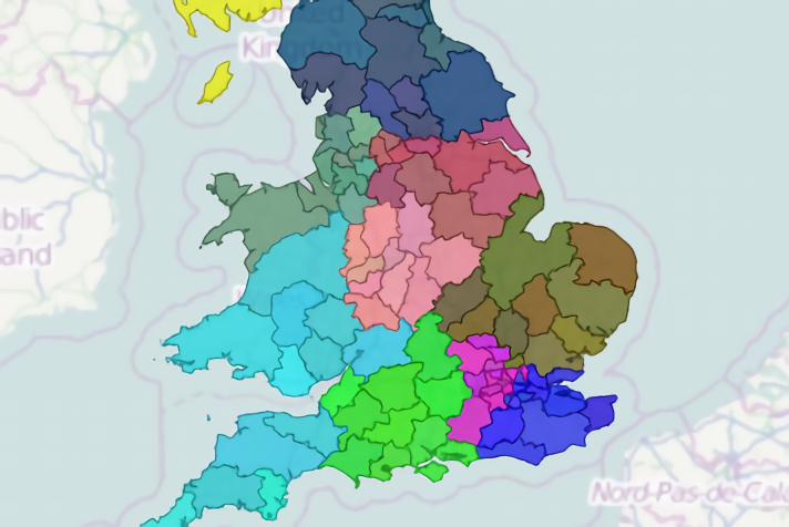
Download reconstructed UK postcode polygons (January 2015) in Shapefile format from here. Please observe the usage terms here - redistribution of map images is only permitted in return for a weblink. Use these files to design and map UK sales or delivery territories.
Files are also available in TopoJSON format for Areas and Districts. TopoJSON files were derived from the original shapefiles by Oliver Sinfield, for use in his excellent Power BI UK postcode areas visualisation tool.
Example pdf reports
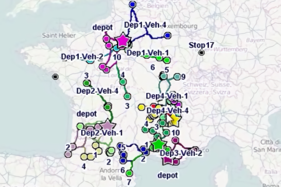
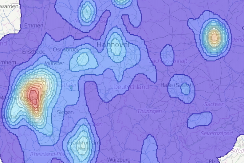
Download an example pdf report generated by ODL Studio of top UK customers from here and one for UK sales territories from here. Download an example planned vehicle routes report from here. All example data is artificial - although based on real postcode addresses. All company and people names are randomly generated.


