What would you like in ODL Studio?
Posted 16 Apr 2015
We’re constantly seeking to improve ODL Studio for our users and need more feedback! What new functionality would you like to see in ODL Studio? What would make ODL Studio quicker or easier for you to use? What would make it perfect for your next project?
For example, would you like?
- Batch geocoding for worldwide addresses, so you could geocode (get latitude and longitudes) for hundreds or thousands of addresses at once?
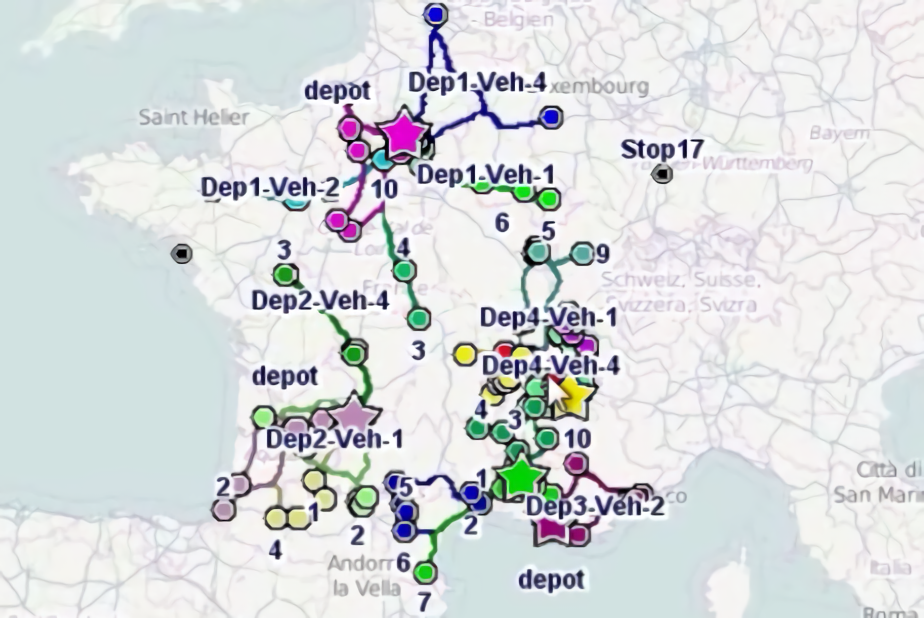
- A version of ODL Studio that runs automatically in the background within a larger system - for example to automatically generate vehicle routes every night and then export them to a database?
- Live vehicle tracking using GPS?
- On-the-fly automatic delivery or field force optimisation, so the system (a) tracks your vehicles or personnel out in the field, (b) automatically assigns them new jobs as needed, and (c) sends the jobs to their phones?
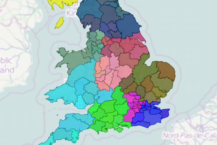
- Better territory optimisation - so you could generate balanced, contiguous & non-overlapping territories automatically, taking into account any other important factors?
- A PowerPoint exporter for territory shapes and maps?
- Shapefiles to build territories for different countries worldwide?
- To be able to build territories by drawing their polygons?
Please drop us an email to let us know your thoughts!


