Territory mapping
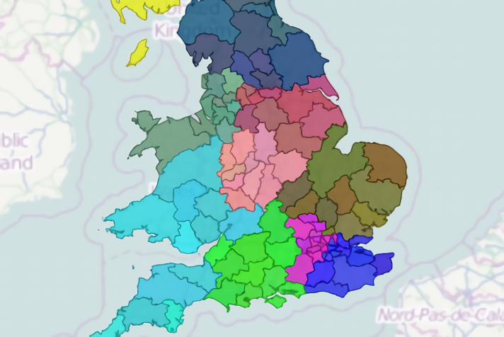
ODL Studio is free, open-source software that lets you create rich, detailed sales or delivery territory maps.
Territory mapping features
- Create territory maps for any type of geographic building block where shapefiles are available - for example zipcode boundaries, postcode districts or areas.
- Open Door Logistics provides free UK postcode boundaries allowing you to map territories at UK postcode area, district or sector level.
- Specify custom colours for:
- Each territory or let ODL Studio automatically assign them.
- Each geographic building block - allowing building blocks to be coloured by a user-defined mix of their own colour and their assigned territory's colour.
- Add extra information to your map by placing user-defined labels on geographic building blocks. These could show:
- Sales or workload statistics.
- The building block's postcode or zipcode.
- The territory name.
- ... or any combination of the above.
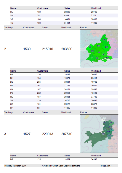
- Export territory maps to pdf, together with text-based details and key statistics for the territory as a whole or its individual component geographic building blocks. Map images for each territory within the pdf report can be configured to:
- Highlight the current territory and grey-out surrounding ones.
- Show only the current territory.
- Show all territories, but zoomed-in on the current one.
- Export territories map image to a variety of image formats at a user-defined resolution using the camera snapshot function.
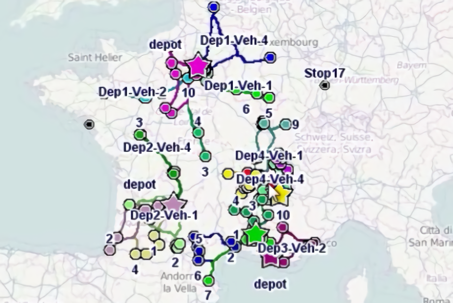
- Combine a territory map with a map of your key customers.
Example territory map report
 Custom territory mapping with ODL Studio - exported to a PDF report.


