Graphhopper (OpenStreetMap road network routing)
Posted 04 Aug 2014
We are currently integrating the excellent Graphhopper project into ODL Studio. Graphhopper contains an open source Java library to calculate routes, travels times and distances between points using OpenStreetMap data. Road network travel times and distances are essential for accurate modelling of logistics problems - for example within automatic sales territory design or vehicle fleet planning (using the Jsprit library - see earlier post).
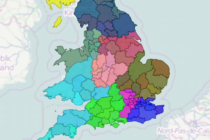
The classic example of the benefits of road network routing within the UK occurs with the Bristol channel. Generally speaking you would not want vehicle routes or sales territories to criss-cross the Bristol channel. If you modelled using crow-fly distances (i.e. a straight line), then the distance between South Wales and North Devon is short - sometimes less than 20 km. Vehicle routes or territories using crow-fly distances could easily span both regions. However using road network distances the Severn bridge becomes the nearest crossing point - as in real-life - and routes or territories are unlikely to span both Devon and South Wales.